
Topic
Roads -- Wales
12 books
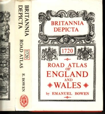
Britannia depicta: or, Ogilby improved
[engraved] by Emanuel Bowen.
Britannia: A survey of the roads of England and Wales in 1675
John Ogilby
Britannia, or, The Kingdom of England and dominion of Wales actually survey'd: with a geographical and historical description of the principal roads, explain'd by one hundred maps on copper-plates : with the ichnography, or drought of the several cities, chief towns, &c., and a view of the churches, houses, and places of pote on the road : also an account of the most remarkable passages of antiquity relating to them, and of their present state
by John Ogilby ...
The traveller's guide: or, A most exact dscription of the roads of England. Being Mr. Ogilby's actual survey, and mensuration by the wheel, of the great roads from London to all the considerable cities and towns in England and Wales, together with the cross-roads from one city or eminent town to another ... And for the better illustration thereof, are added tables.
John Ogilby
The traveller's guide, or, A most exact description of the roads of England: being Mr. Ogilby's actual survey, and mensuration by the wheel, of the great roads from London to all the considerable cities and towns in England and Wales, together with the cross-roads from one city or eminent town to another : wherein is shewn the distance from place to place, and plain directions given to find the way, by setting down every town, village, river, brook, bridge, common, forest, wood, copse, heath, moor, &c. that occur in passing the roads : and for the better illustration thereof, there are added tables, wherein the names of the places with their distances are set down in a column, in so plain a manner, that a meer stranger may travel all over England without any other guide.
John Ogilby
Britannia depicta: or, Ogilby improved: Being an actual survey of all the direct and principal cross roads of England and Wales; shewing all the cities, towns, villages, churches, gentlemen's seats, &c. situated on, or near any of the roads
Engraved by Emanuel Bowen ... To which is added, an accurate historical and topographical description of all the cities, boroughs, towns corporate, and other places of note. Compiled from the best authorities, by John Owen, gent. The whole illustrated with maps of all the countries of South-Britain.
Leigh's New pocket road-book of England and Wales: containing an account of all the direct, cross, and rail roads ; a description of every principal town and remarkable place ... ; to which are added pleasure tours to the most picturesque parts of the country ; with a new and correct list of mail-coach routes.
Samuel Leigh
The "C.T.C." route book.
Cyclists' Touring Club.

The " Contour" road book of England: a series of elevation plans of the roads, with measurements and descriptive letterpress
by Harry R.G. Inglis.
Britannia, volume the first, or, An illustration of the Kingdom of England and dominion of Wales: by a geographical and historical description of the principal roads thereof, actually admeasured and delineated in a century of whole-sheet copper-sculps : accomodated with the ichnography of the several cities and capital towns, and compleated by an accurate account of the more remarkable passages of antiquity : together with a novel discourse of the present state
by John Ogilby ...
Showing 10 of 12 books
Related Subjects
Topics
RoadsDescription and travelGreat Britain -- Description and travelRoads -- EnglandRoads -- Great BritainEarly works to 1800Great Britain -- Description and travel -- Early works to 1800
Places