
Barrington Atlas of the Greek and Roman World
(with Map-by-Map Directory on CD-ROM)
Har/Cdr edition
Our rough guess is there are 68,000 words in this book.
At a pace averaging 250 words per minute, this book will take 4 hours and 32 minutes to read. With a half hour per day, this will take 9 days to read.
How long will it take you?
This book will take an estimated to read at a reading speed averaging words per minute. With 30 minutes per day, this will take to read.
Enter your reading speedYou can take one of our WPM reading speed tests to find your reading speed.
Create a free account to track your reading progress, build your reading list, and set reading goals.
Contributions
- Richard J. A. Talbert - Editor
- Roger S. Bagnall - Editor
Publication
2000-09-15 - Princeton University Press, Princeton, N. J., USA
Language
English
Word Count
68,000 words, Guess
Page Count
272 pages
Physical Format
Hardcover
Identifiers
- ISBN-10069103169X
- ISBN-139780691031699
- Goodreads1222992
- Library of Congress Control Number00030044
- OCLC Control Number43970336
and 2 more
- Better World Books9780691031699
- Open LibraryOL7756854M
Classifications
- LCCG1033.B3 2000
- LCCG 1033 B3 2000
Description
The *Barrington Atlas*, created by the Classical Atlas Project (now, the [Ancient World Mapping Center][1]), is a reference work of permanent value. It has an exceptionally broad appeal to everyone worldwide with an interest in ancient Greeks and Romans, the lands they penetrated, and the peoples and cultures they encountered in Europe, North Africa and Western Asia. In 99 full-color maps spread over 175 pages, the *Barrington Atlas* re-creates the entire world of the Greeks and Romans from the British Isles to the Indian subcontinent and deep into North Africa. It spans the territory of more than 75 modern countries. Its large format (13 1/4 x 18 in. or 33.7 x 46.4 cm) has been custom-designed by the leading cartographic supplier, MapQuest.com, Inc., and is unrivaled for range, clarity, and detail. Over 70 experts, aided by an equal number of consultants, have worked from satellite-generated aeronautical charts to return the modern landscape to its ancient appearance, and to mark ancient names and features in accordance with the most up-to-date historical scholarship and archaeological discoveries. Chronologically, the *Barrington Atlas* spans archaic Greece to the Late Roman Empire, and no more than two standard scales (1:500,000 and 1:1,000,000) are used to represent most regions. Since the 1870s, all attempts to map the classical world comprehensively have failed. The *Barrington Atlas* has finally achieved that elusive and challenging goal. It began in 1988 at the University of North Carolina, Chapel Hill, under the direction of the distinguished ancient historian [Richard Talbert][2], and has been developed with approximately $4.5 million in funding support. The resulting *Barrington Atlas* is a reference work of permanent value. It has an exceptionally broad appeal to everyone worldwide with an interest in the ancient Greeks and Romans, the lands they penetrated, and the peoples and cultures they encountered in Europe, North Africa, and Western Asia. Scholars and libraries should find it essential. It is also for students, travelers, lovers of fine cartography, and anyone eager to retrace Alexander’s eastward marches, cross the Alps with Hannibal, traverse the Eastern Mediterranean with St. Paul, or ponder the roads, aqueducts, and defense works of the Roman Empire. For the new millennium the *Barrington Atlas* brings the ancient past back to life in an unforgettably vivid and inspiring way. [1]: http://www.unc.edu/awmc [2]: http://en.wikipedia.org/wiki/Richard_Talbert
Description
In 99 full-color maps spread over 175 pages, the Barrington Atlas recreates the entire world of the Greeks and Romans from the British Isles to the Indian subcontinent and deep into North Africa. It spans the territory of more than 75 modern countries. Its large format (13 x 19 ins or 33 x 48 cm) has been custom-designed by the leading cartographic supplier MapQuest.com, Inc., and is unrivalled for range, clarity and detail. Over 70 experts, aided by an equal number of consultants, have worked from satellite-generated aeronautical charts to return the modern landscape to its ancient appearance, and to mark ancient names and features in accordance with the most up-to-date historical scholarship and archaeological discoveries. Chronologically, the Barrington Atlas spans archaic Greece to the Late Roman Empire, and no more than two standard scales (1:500,000 and 1:1,000,000) are used to represent most regions. Since the 1870s, all attempts to map the classical world comprehensively have failed. This new initiative has finally achieved that elusive and challenging goal. It began in 1988 at the University of North Carolina, Chapel Hill, under the direction of the distinguished ancient historian Richard Talbert, and has been developed with approximately $4 million in funding support. The resulting Barrington Atlas is a reference work of permanent value. It has an exceptionally broad appeal to everyone worldwide with an interest in ancient Greeks and Romans, the lands they penetrated, and the peoples and cultures they encountered in Europe, North Africa and Western Asia. Scholars and libraries should all find it essential, although it is not just for them. It is also for students, travelers and lovers of fine cartography, as well as for anyone eager to retrace Alexander's eastward marches, to cross the Alps with Hannibal, to traverse the Eastern Mediterranean with St. Paul, or to ponder the roads, aqueducts and defense works of the Roman Empire. For the new millennium the Barrington Atlas brings the ancient past back to life in an unforgettably vivid and inspiring way.
Subjects
Topics
Times
Other Editions
- Barrington Atlas of the Greek and Roman World: (with Map-by-Map Directory on CD-ROM)
Similar Books

The Last Days of Pompeii
Lytton, Edward Bulwer Lytton, John Betancourt
10h 6m read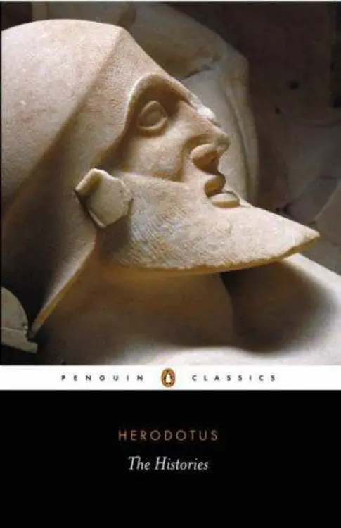
The Histories
Herodotus ; translated by Aubrey De Sélincourt ; revised with introduction and notes by John Marincola.

Plutarch's Lives
with an English translation by Bernadotte Perrin.
Justin's history of the world from the Assyrian monarchy down to the time of Augustus Cæsar: being an abridgment of Trogus Pompeius's Philippic history, with critical remarks upon Justin. Made English by Mr. T. Brown. The second edition, carefully revised. With many curious emendations, ... Besides several other material annotations ... By O. Dykes, ...
Justin, Marcus Junianus Justinus, Waldemar Heckel
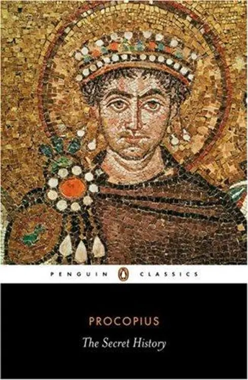
The Secret History (Penguin Classics)
Procopius, Richard Atwater

The classical Greeks
Michael Grant.
Reader Reviews
No reviews yet for this book.
Be the first to share your thoughts!